

Navigation
Indra has the most comprehensive portfolio in the air navigation market, with more than 8,000 references and the most innovative dual-use solutions, making it a global leader.
Our technology and wide range of solutions help ensure flight safety with high-performance, durable systems, unmatched technological standards, and world-class customer service recognised worldwide.
We design and deploy highly reliable air navigation systems regardless of complexity level or weather conditions.
Our solutions optimise airspace use and reduce flight times and CO₂ emissions for more sustainable aviation.

Innovation, efficiency, and reliability for safer air navigation
Indra’s ILS (Instrument Landing System) guides aircraft with precision to ensure safe approaches and landings, even in adverse weather conditions.
Its reliability and ease of maintenance makes it the preferred choice for airports of any size, complexity and visibility classification, from category I to III.
Innovations such as the ultra-wide localizer, the first 32-element system in the world, increase airport capacity and optimise operations at high-traffic airports like Dubai or Heathrow, consolidating Indra as an industry leader.
We are the sole ILS provider for the United States Air Force (USAF) and the United States Navy (USN).
- 3,500+ airports
- 10+ million flights per year

Indra’s VOR (VHF Omnidirectional Range) is the ground-based radio aid that has become the international standard for its high reliability in en-route and approach navigation systems.
Available in Doppler (DVOR) and conventional (CVOR) configurations, it transmits a signal to determine the aircraft’s position relative to a beacon and incorporates remote monitoring and control systems to maximize operational efficiency.

Indra’s DME (Distance Measuring Equipment), reliable and easy to operate, combines operational efficiency with precise distance calculation between aircraft and ground beacons, enabling safe approaches.
Multiple DME-DME installations are used to facilitate Performance-Based Navigation (PBN) for fuel optimization on routes without GPS service.
- Exclusive FAA (Federal Aviation Administration) supplier since 2011.
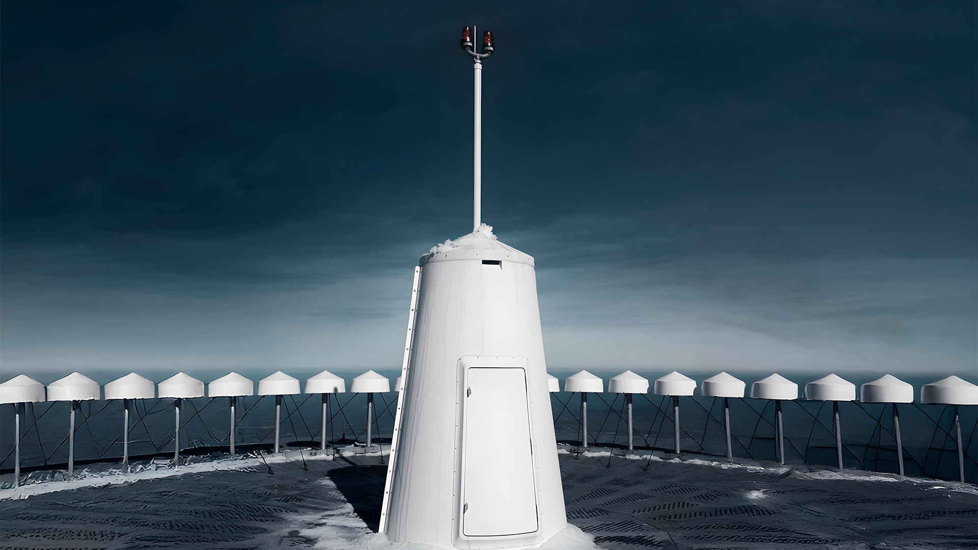
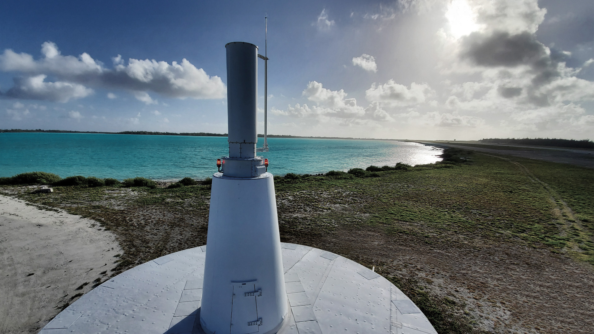
Indra’s TACAN (Tactical Air Navigation) solution enables precise navigation with dual-use technology, and is available in fixed-based, portable, and shipboard versions.
The portable version, lightweight and rugged, operates in remote and hostile environments, supporting deployment in improvised or disaster-affected airfields. The shipboard TACAN provides vessels with high-precision navigation support for aviation operations.
Our TACAN 1120 model shares 90% of its design with the only FAA-certified DME currently in production.

Contact us